A Visit to the Berner Oberland's Geologic Wonderland, the Gasterntal
The Gasterntal is Switzerland's veritable hidden valley tucked away just far enough to be less traveled and accessible enough to offer an exceptional geology-filled day trip.
INTO THE ALPS
Kandersteg to the Gasterntal
You can follow along with our walk using the interactive map above. Please ignore the elevation gain here. The Gaia GPS topo maps that define the profile are incorrect about mid way through the valley where the trail remains relatively flat on the valley bottom.
A few weeks back we shared one of our favorite walks of 2024, the track from Fafleralp to Anenhutte in the upper Lötschental just over the border from the Canton of Bern in the Valais. It was an excellent alpine adventure that offered a unique perspective on the active glacial processes still carving the Alps. The only downside to that hike was the time it took to get there on public transit, well over an hour from Lake Thun.
Just one valley over, on the Bern side of the old Lötschberg tunnel, is another spectacular hidden valley that is much quicker to get to from the rest of the Berner Oberland and offers its own exceptional scenery, the Gasterntal.
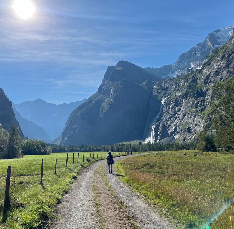
In my opinion, the deep glacially carved Gasterntal, our destination for this week’s walk, rivals the beauty of the Lauterbrunnen Valley in the Jungfrau region while remaining far less traveled and much more intimate. If you are looking for excellent walking or biking, incredible waterfalls, and spectacular geology with a fraction of the crowds, skip Lauterbrunnen and head straight for the Gasterntal.
Our walk this week is a 16 km (10 mile) total out-and-back but, with a little bit of forward planning, it can easily be augmented to include a bit more or less walking.
Thanks for joining us!
To the Gasterntal
Ultimately, the Gasterntal itself isn’t all that accessible by public transit, at least not as compared to the more touristy Jungfrau Region. A steep river gorge and rough dirt road at the valley mouth (open to cars for a fee), limits traffic into the valley. That said, the start of our walk at Talstation Sunnbüel, just at the bottom of the gorge, is only 10-minutes by bus from Kandersteg Station (itself about 30 minutes from Lake Thun). Not too bad as far as these things go.
Walking straight from the train station at Kandersteg to the start of the walk adds about 30 minutes to your journey on either end but gives you a chance to check out the lovely town of Kandersteg if you are keen. We tacked this on for good measure on our latest visit but it isn’t included in the overall 16 km’s.
Throughout the summer, there is also an option to take a regular paid shuttle bus to and from Kandersteg Station straight to the end of our walk. You must book ahead but it is a good way to halve the out and back or get further into the Gasterntal to start your onward journey. Likewise, the road (which continues beyond the gorge up through the Gasterntal) makes the valley a popular gravel bike destination that is worthwhile considering if you are looking for your next bike trip. Bike rentals can easily be found in Kandersteg.
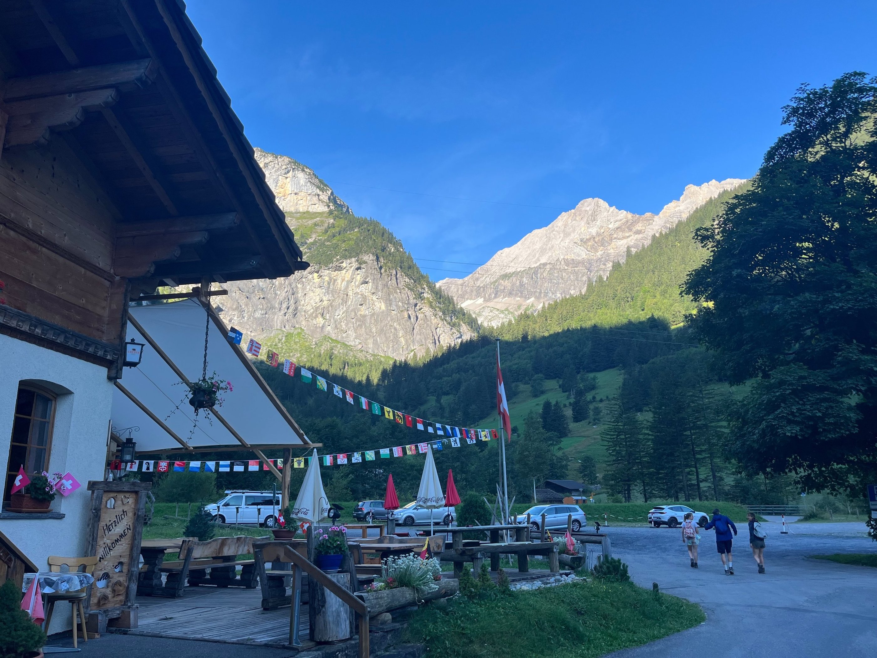
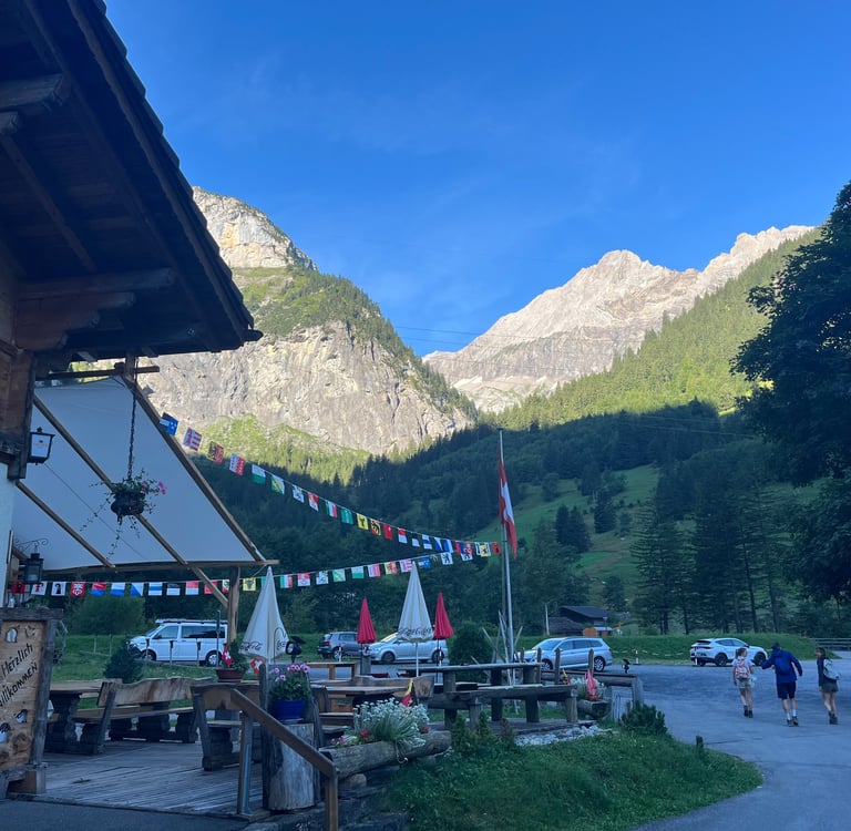
Start of the walk in beautiful Kandersteg
Traversing the Klus Gorge
From the bus stop at Talstation Sunnbüel we start our walk by heading back to the main road and crossing the road bridge over the Kander River. Just on the opposite bank, the trail heads back along the river and starts its way up into the steep Klus Gorge, carved by the flow of the Kander River on its way down the 150 or so meters (c. 500 ft) from the lower Gasterntal to the Kandertal.
If you spend enough time around the Swiss you are likely to learn that their definition of an ‘easy walk’ rarely materializes into anything other than a slog up a rough mountain path. I suppose hiking is a way of life for them and, when you hike enough, anything less than proper rock climbing starts to look like a tame path at some point.
Regardless, I still seem to get suckered quite often. This week was no exception. Corinne pitched the idea for a light walk into the Gasterntal and, to be fair, the majority of the walk is fairly flat, but she conveniently left out the climb to get into the valley. I won’t do the same to you here.
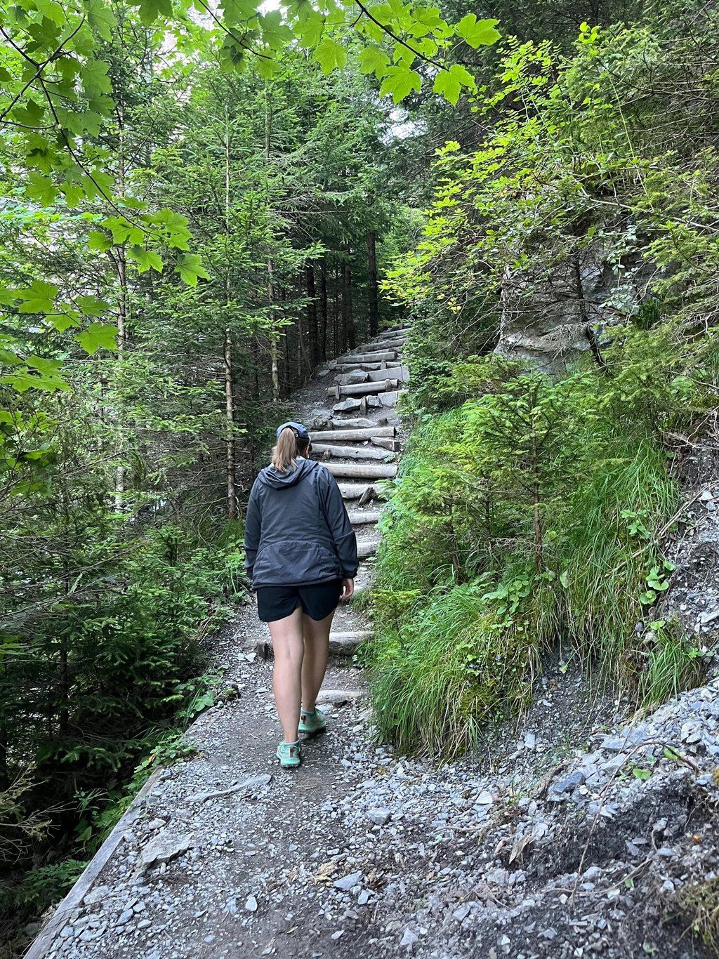
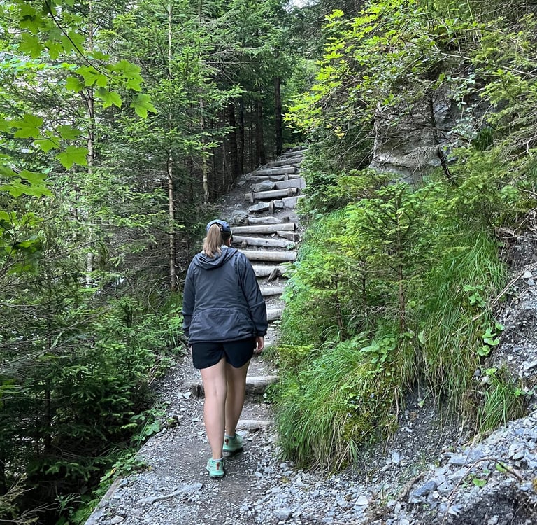
A portion of the fairly steep climb into the Gasterntal
Scrambling over roots and rocks on our way up steep switchbacks just minutes after leaving the bus stop, I immediately wished I had brought my boots rather than tennis shoes.
Of course, it isn’t that tough to find a more mellow start. All you need to do is head down the main road a bit further after crossing the Kander and head up along the dirt road into the Gasterntal.
I still think the effort of climbing the gorge is worth it if you have the ability. As you weave up the steep slope, the views of the roaring Kander are quite cool. Regardless, of your route, the trail ends up crossing the road a couple of time to avoid some (quite terrifying looking) blasted tunnels and overhanging road cuts that look like something straight out of the wild west. At this point, past the first big uphill push, the terrain of the gorge becomes more interesting and varied.
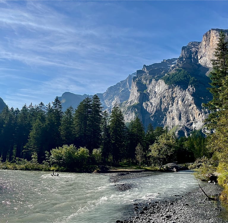
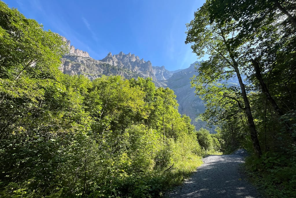
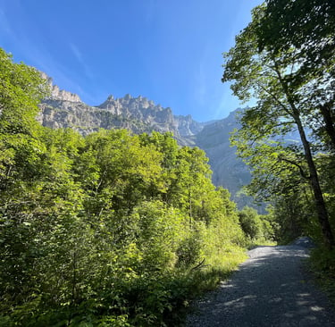
The contrast upon exiting the Klus Gorge and entering the lower Gasterntal is incredible. The narrow and rough gorge with its loud cascading rapids almost immediately evaporates into a fabulously wide and flat valley. The Kander spreads out and gently meanders through one of the last free flowing sections of river in all of Switzerland.
The combination of interesting river dynamics, steep valley walls, and sparse alpine forest create an idyllic setting like almost no other place I have ever been, let alone anywhere in Switzerland.
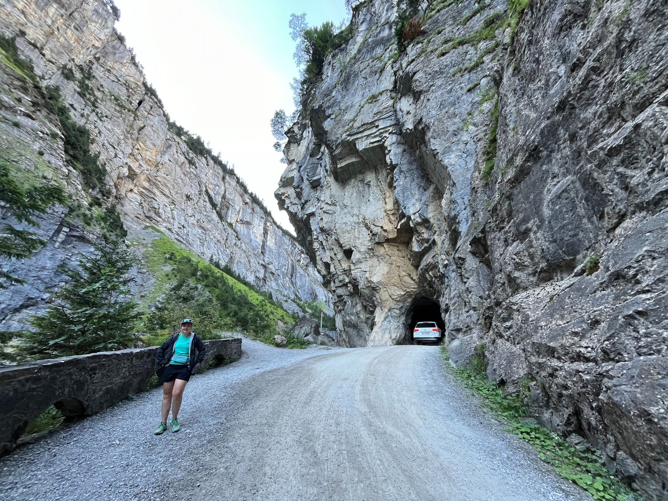
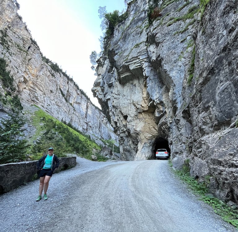
The road through the Klus Gorge
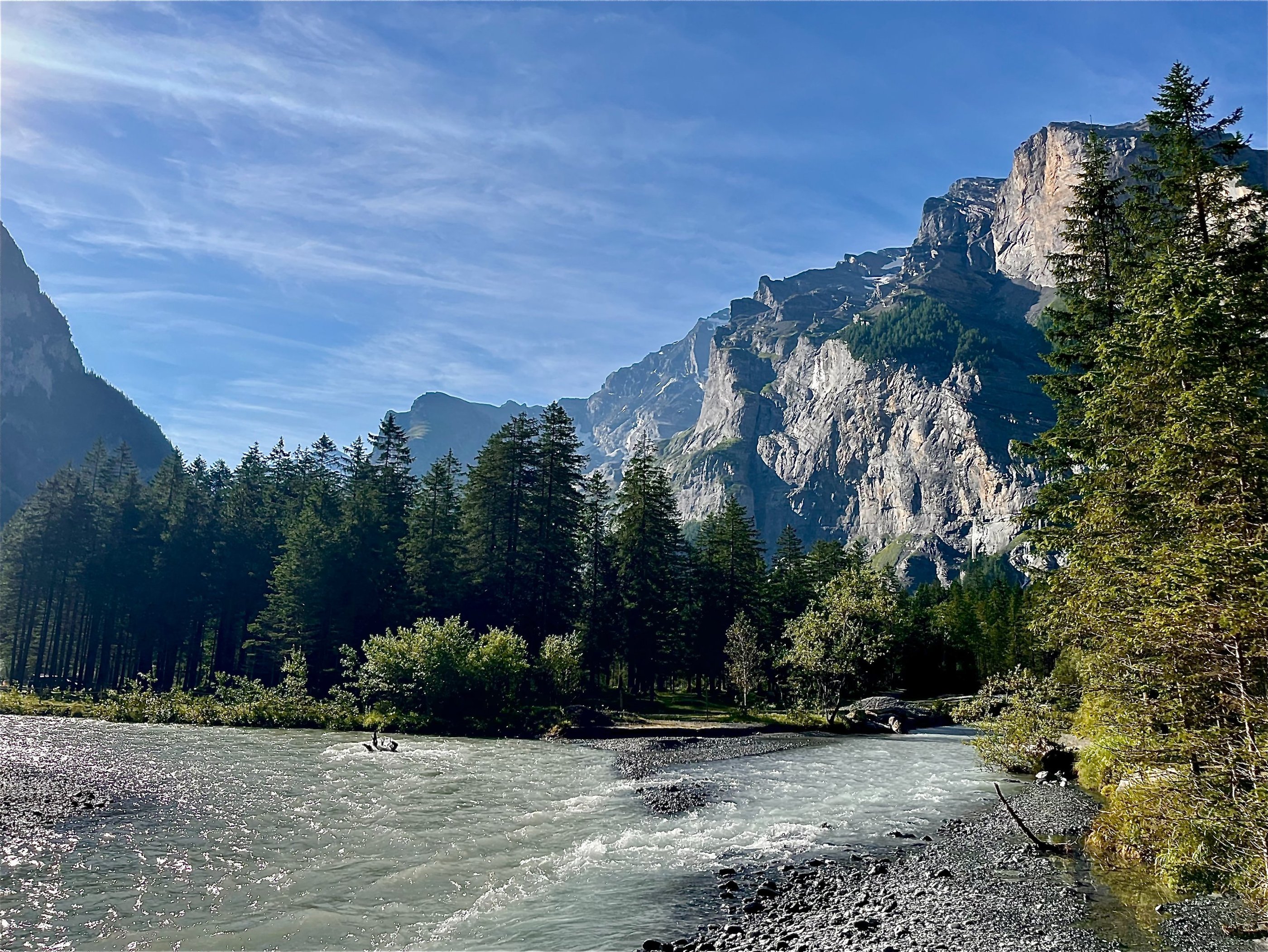
Stunning views from the start of the Gasterntal
Exploring the Lower Gasterntal
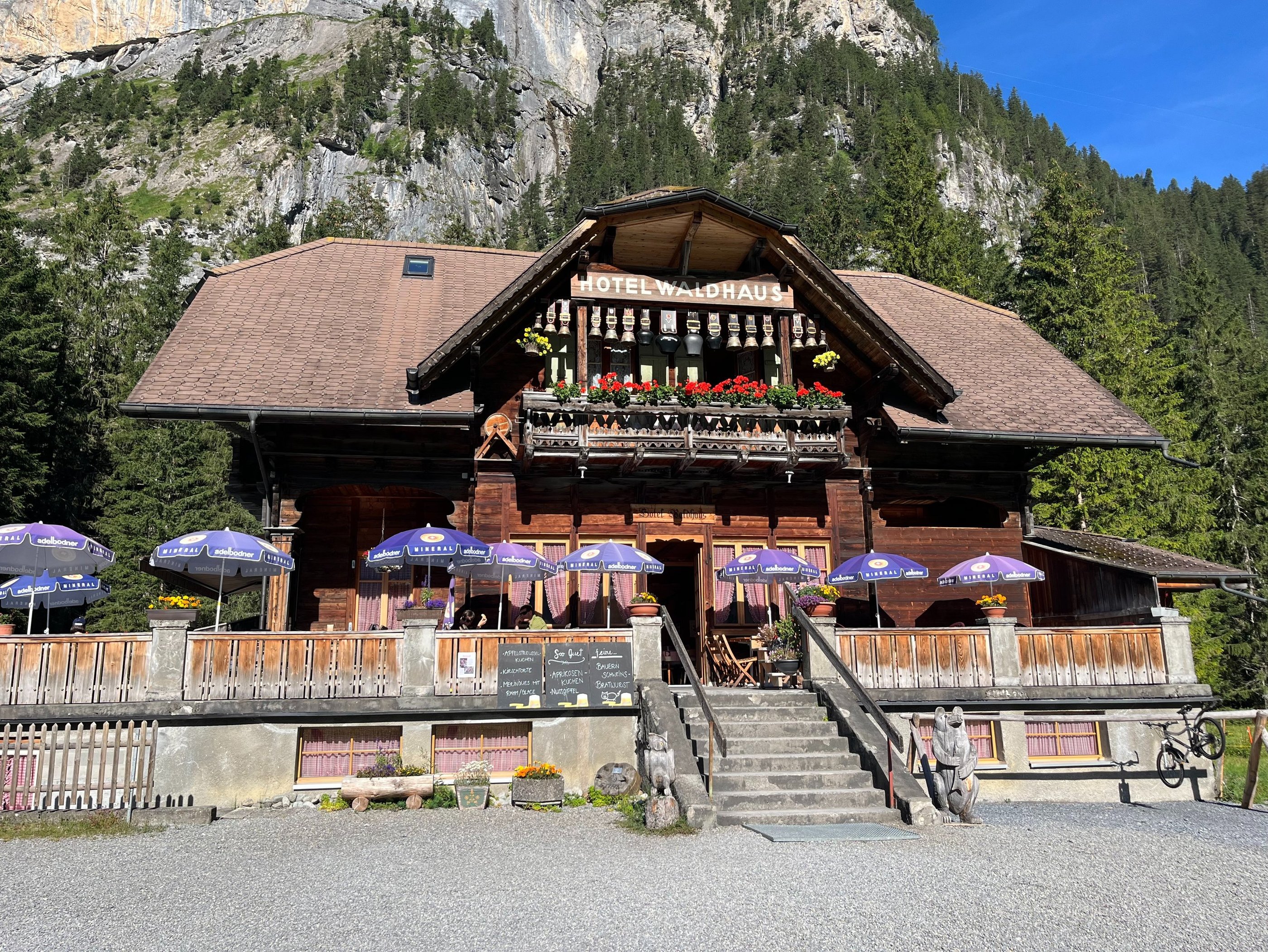
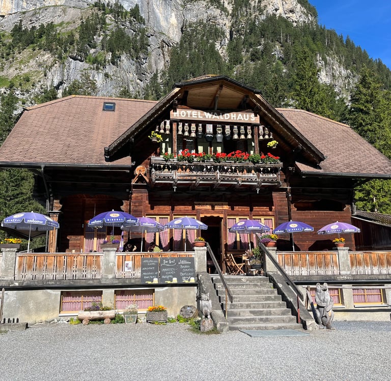
From the end of the Klus Gorge, the path continues into the valley proper and the light forest eventually gives way to open pasture around Waldhus. The hotel and restaurant at Waldhus, Berghotel Waldhaus, seems about as traditional a restaurant as you get in Switzerland. On our latest visit, they were blasting traditional Swiss folk music and serving meat, meat, and more meat (probably with some cheese for good measure).
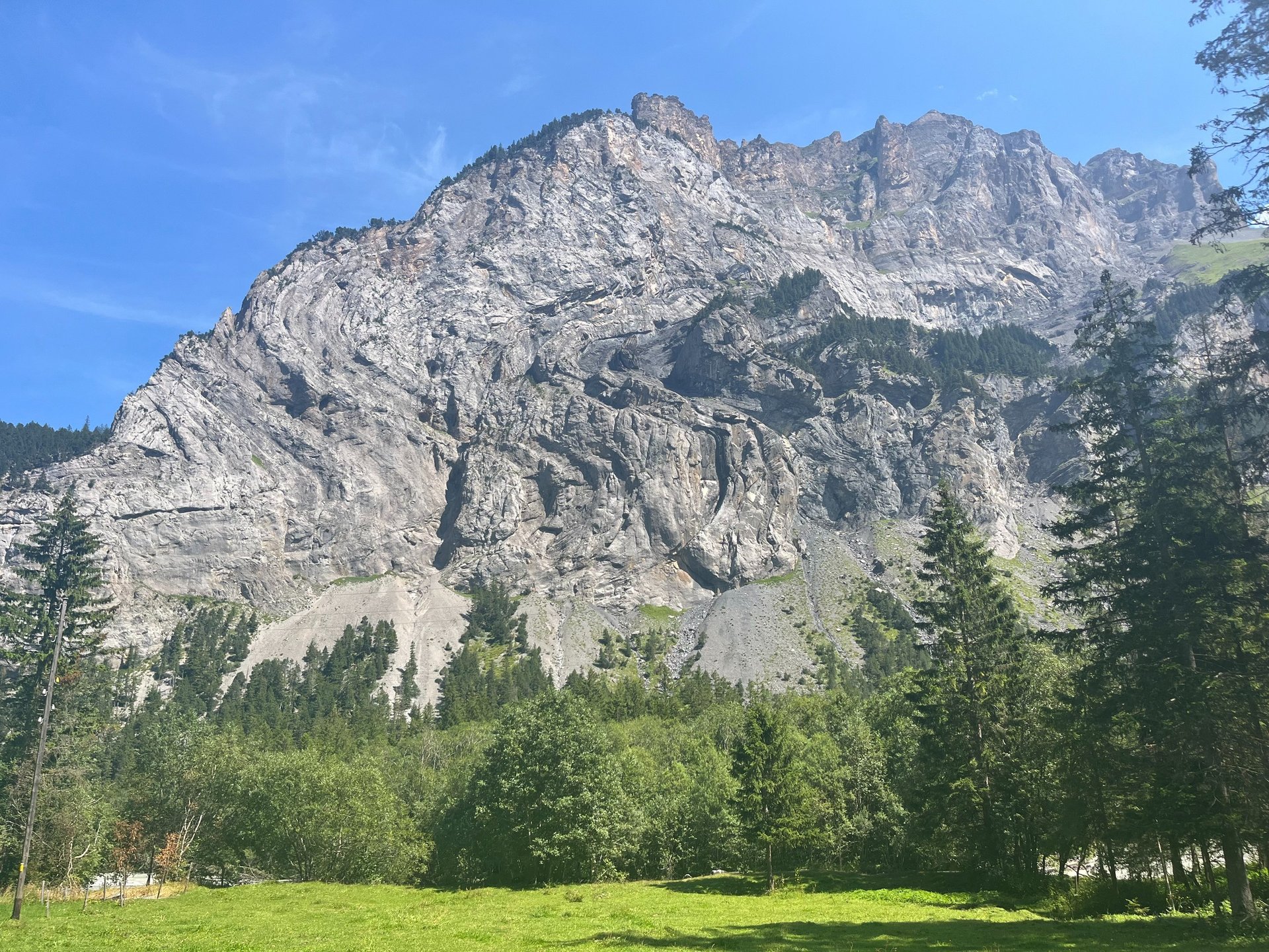
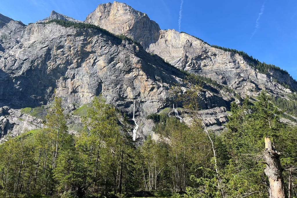
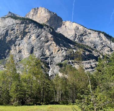
Beyond the restaurant, the glacial valley views are as incredible here as any you might find in Switzerland. On the southern side of the valley, several stunning waterfalls called the Geltibach pour straight out of the steep rockface owing to an underground aquifer that seasonally fills and drains itself year after year. On the northern side of the valley the nappes, or recumbent bedrock folds found all around the Alps, are on spectacular display.
Waldhaus Restaurant in the Lower Gasterntal
Nappes on display in the walls of the Gasterntal
These cliffs, mostly limestone and sandstone, are composed of marine sediments, deposited into the no longer existent Tethys Sea in the late Mesozoic (about 252 to 66 million years ago). Continental collision of the African and Eurasian landmasses starting in the early Cenozoic, around 66 million years ago, and peaking around the Oligocene and Miocene, about 30 million years ago thrust up the Alps, effectively smushing, folding, and shearing the overlying sedimentary rock, the equivalent of the modern collision of India and Asia forming the Himalaya today.
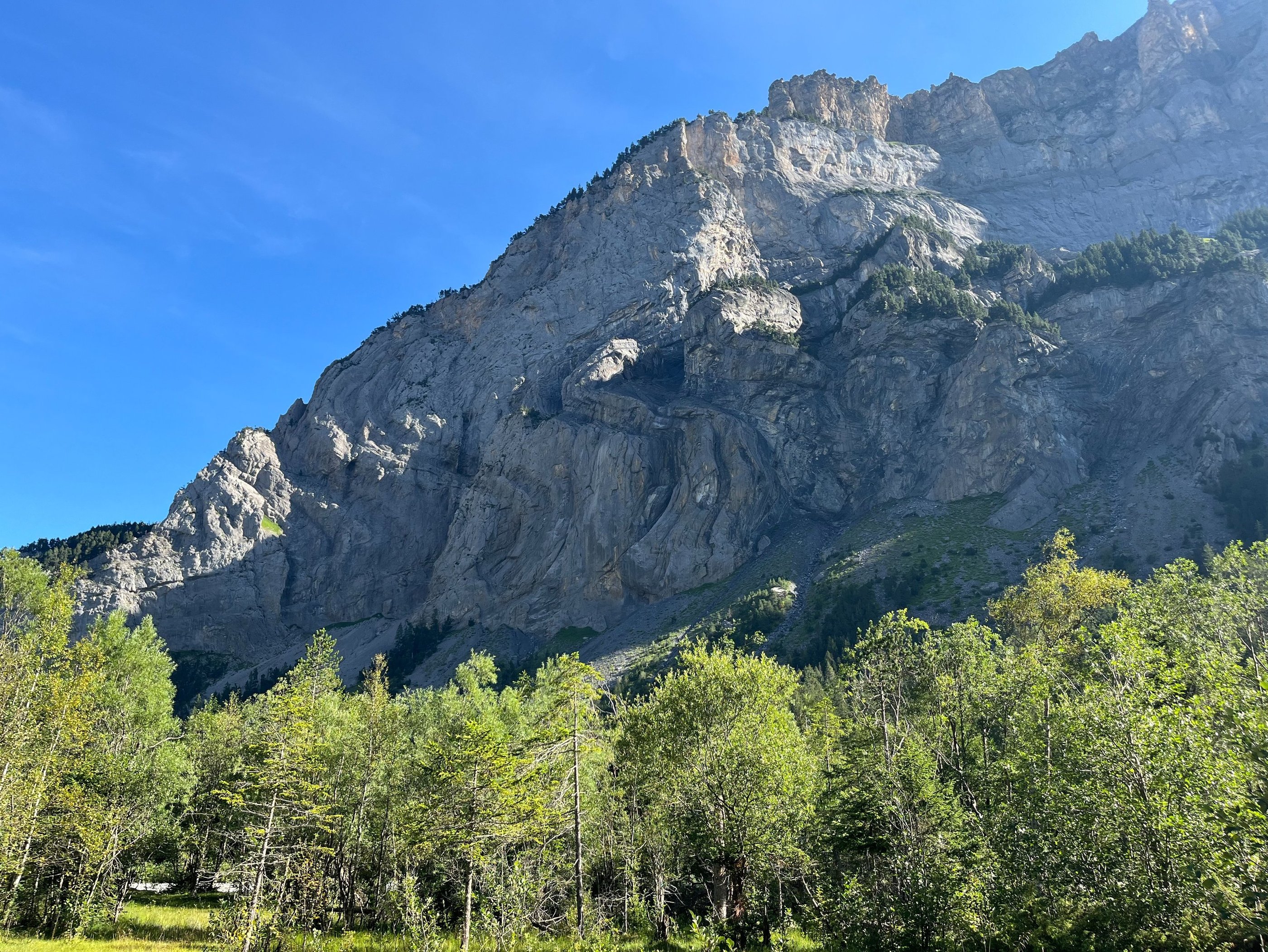
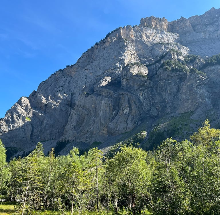
Nappes on display in the walls of the Gasterntal
Geomorphically, the Gasterntal itself is a bit of an oddity. Like most of Switzerland’s major Alpine valleys, ice carved the modern valley during the last ice age, but Uschenegrat, the large ridge above Sunnenbüel, partially blocked the end of the valley forcing the ice through the narrow Gasternholz (even deeper and narrower today owing to river incision). The narrowing likely limited the flow of the ice resulting in less glacial excavation and the hidden valley effect we see today.
Lying just beneath your feet
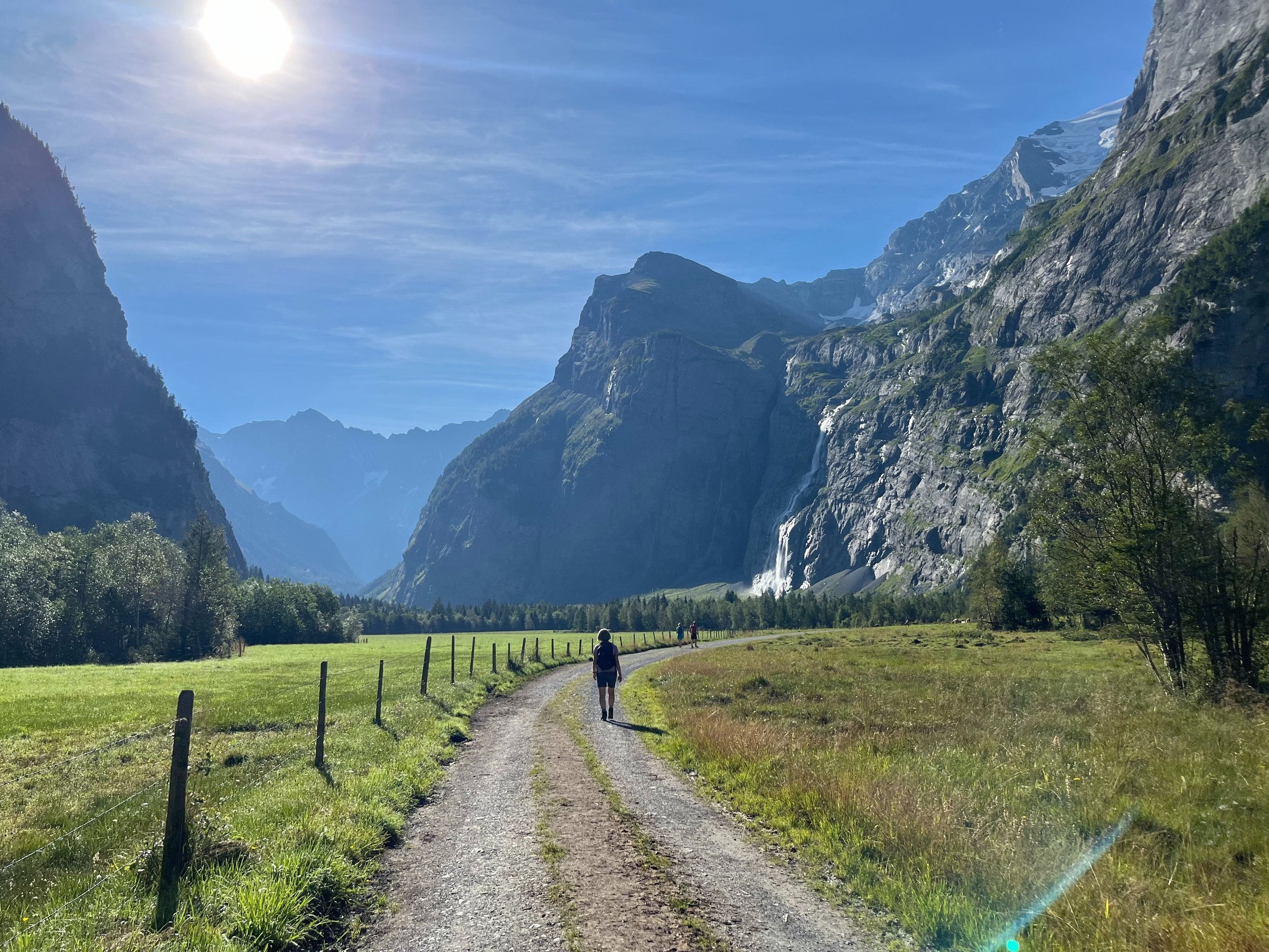
Past the Berghotel Waldhaus, the path through the Gasterntal works its way up a fairly flat dirt road, past the turn-off for the Swiss Alpine Club Balmhornhütte, further into this spectacular valley. The further we walk, the more the Geltibach that we spotted on the way in, and the much larger and more dramatic falls coming off the rapidly melting Balmhorngletscher come into focus.
In the winter of 1978, when the natural flow of water from the Geltibach had more or less dried up, the first attempts were made to explore the caverns feeding the falls. A difficult approach and loose and unstable rock prevented the first climbers from accessing the entrance but, in October of the next year, the first visitors made their way several hundred meters into the caves. Eventually, the expedition was halted by a series of long-flooded passages.
A decade went by before the next explorations of the caves in the late 80’s and early 90’s. The steel cables installed to access the entrance in the 70’s had long since snapped and the flooded passages remained difficult to overcome. Finally, in 1990 a specialist cave diver, Philippe Roullier, was able to make his way through a 45 meter long flooded passage, gaining access to the rest of the system.
Since 2011, a group of cavers from Kandersteg, applying the latest in caving technique, has been mapping the Geltibachhole. So far, they have discovered over 3 kilometers of passages with nearly 50 meters of elevation difference and have yet to find an end.
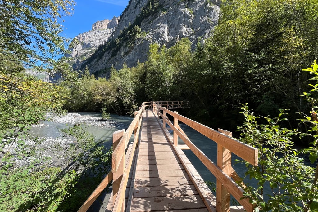
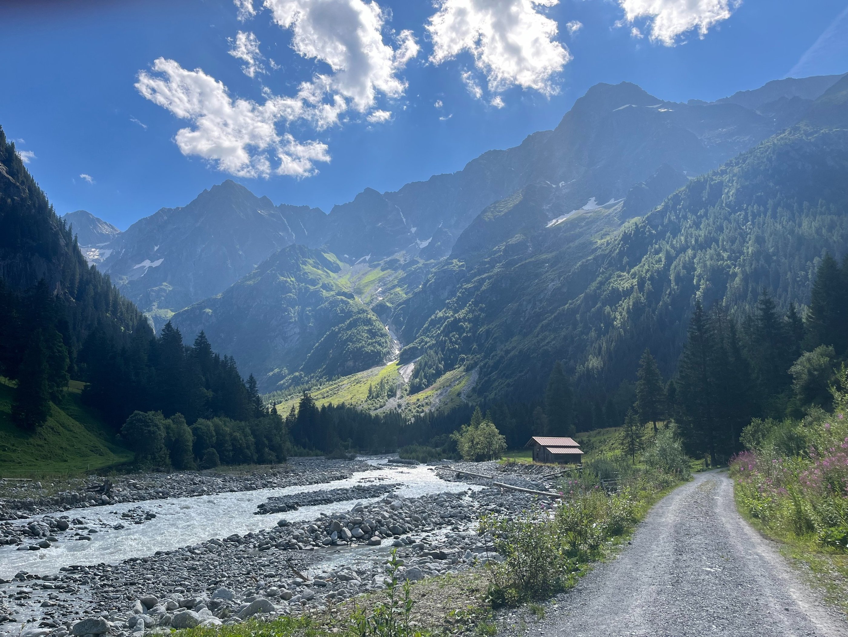
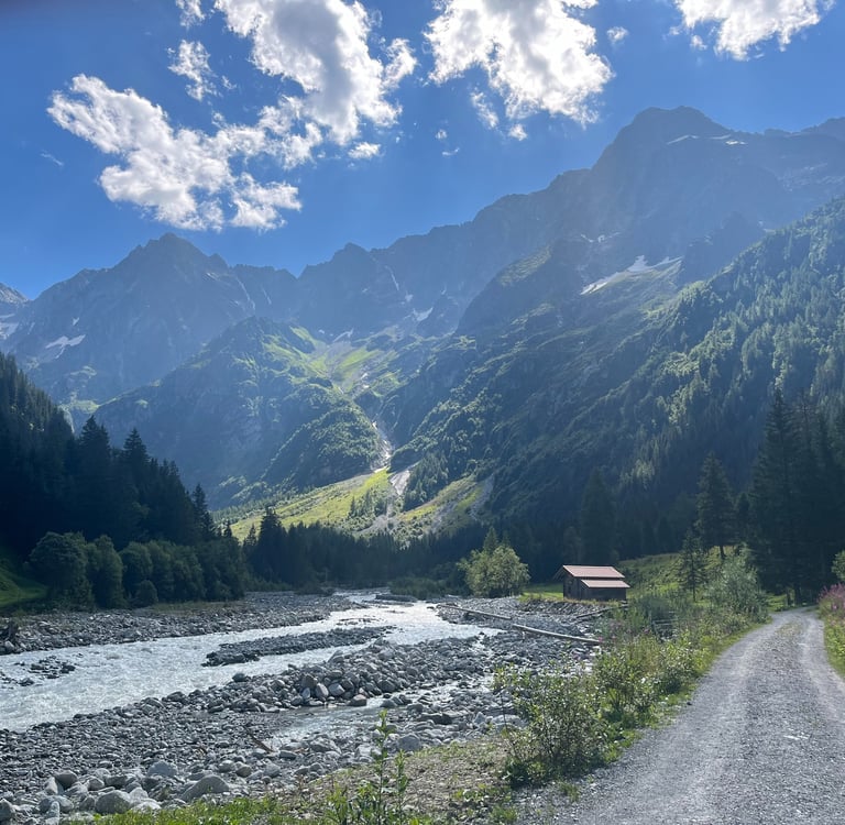
Between Geltibach and the falls from the Balmhorn, our path breaks off across the valley revealing the natural meanders of the Kander. A bridge across the river takes you headlong into the forest that dominates much of the rest of the walk.
At this point in the walk, you are standing about 500 m above the Lötschberg Base Tunnel between Visp and Frutigen. About 250 m of that is glacial sediment flattening the bottom of the U-shaped valley and the other 250 m is the sedimentary bedrock found on the cliffs high above.
Just a few meters further down, we pass straight over an abandoned heading of the old Lötschberg tunnel, one of the most disastrous missteps of engineering geology in the history of Switzerland. Constructed between 1906 and 1913, the Lötschberg tunnel, starts in Kandersteg and outlets in Goppenstein curving about 150 m beneath the Gasterntal.
Upon routing of the line in 1906, geologists assumed that the sediment filling the bottom of the Gasterntal could not be substantially lower than the bedrock outcrops found in the Klus Gorge where we passed to get up into the Gasternatal. Not all together poor logic, but missing one important factor, glacial over-deepening.
The narrowing at the end of the Gasterntal meant that the flow of ice through the Klus Gorge was far less effective at carving out bedrock than the ice in the rest of the Gasterntal. As a result, about 350 m of rock, several hundred meters deeper than the Klus Gorge, was excavated from the Gasterntal during the last glaciation and subsequently replaced with loose sediment upon the retreat of the ice.
When the Lötschberg tunnel builders reached the edge of the Gasterntal, they unknowingly blasted straight through bedrock into the sedimentary basin of the Gasterntal releasing a high-pressure slurry of mud, sand, and groundwater straight into the tunnel workings. Of the 26 workers that were killed, only one was ever found.
On the surface, a 3 meter (15 ft) deep sinkhole was opened on the valley floor and huge amounts of dewatering and concrete were required to adjust the route of the tunnel and close off the breach.
A ways past the tunnel routes, the single-track path links back up with the road for a dusty and slow 3 km gentle climb up the valley. Just before breaking off from the road again, the views of the jagged Fisistock and Doldenhorn open up offering a peak into the stunning high peaks of the Alps.
The Geltibach appearing straight from the rock walls of the valley
Entering the forest of the Gasterntal
Views of the high peaks from the trail
A Loop Around Selden
Eventually, the Kander makes its way through a series of rapids and another incredibly steep walled gorge (incidentally where the rerouted Lötschberg tunnel now passes under). As a result of the gorge, the road switchbacks its way upslope while the path heads steeply up in parallel to the river. You can hear the water crashing down below, but it is almost impossible to see the river from the path high above.
Just before reaching Selden, the path pops back into the open revealing the bottom of the lovely upper Gasterntal. Farms, holiday homes, and a couple of restaurants at Selden explain why the road heads up this far.
From Selden, you can continue on across the steep Lötschenpass or head further up the valley to the base of the Kanderfirn, the remains of the glacier that carved the Gasterntal and the source of the Kander River.
Unfortunately, the Gasterntal does not lend itself to a loop walk so, from Selden it’s mostly backtracking if you don’t want to commit to the 1250 m climb and 700 m descent into the Lötschental.
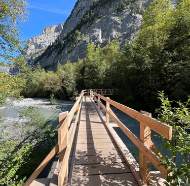
If you haven’t booked a shuttle (we didn’t), enjoy a coffee or lunch in Selden then cross the (very low and not very terrifying) swinging bridge to the other side of the Kander. A quick right turn on the river bank lets you follow the far side of the river back downstream until the gorge where you are forced back onto the road to backtrack your way to Kandersteg.
Views looking up the valley near Selden
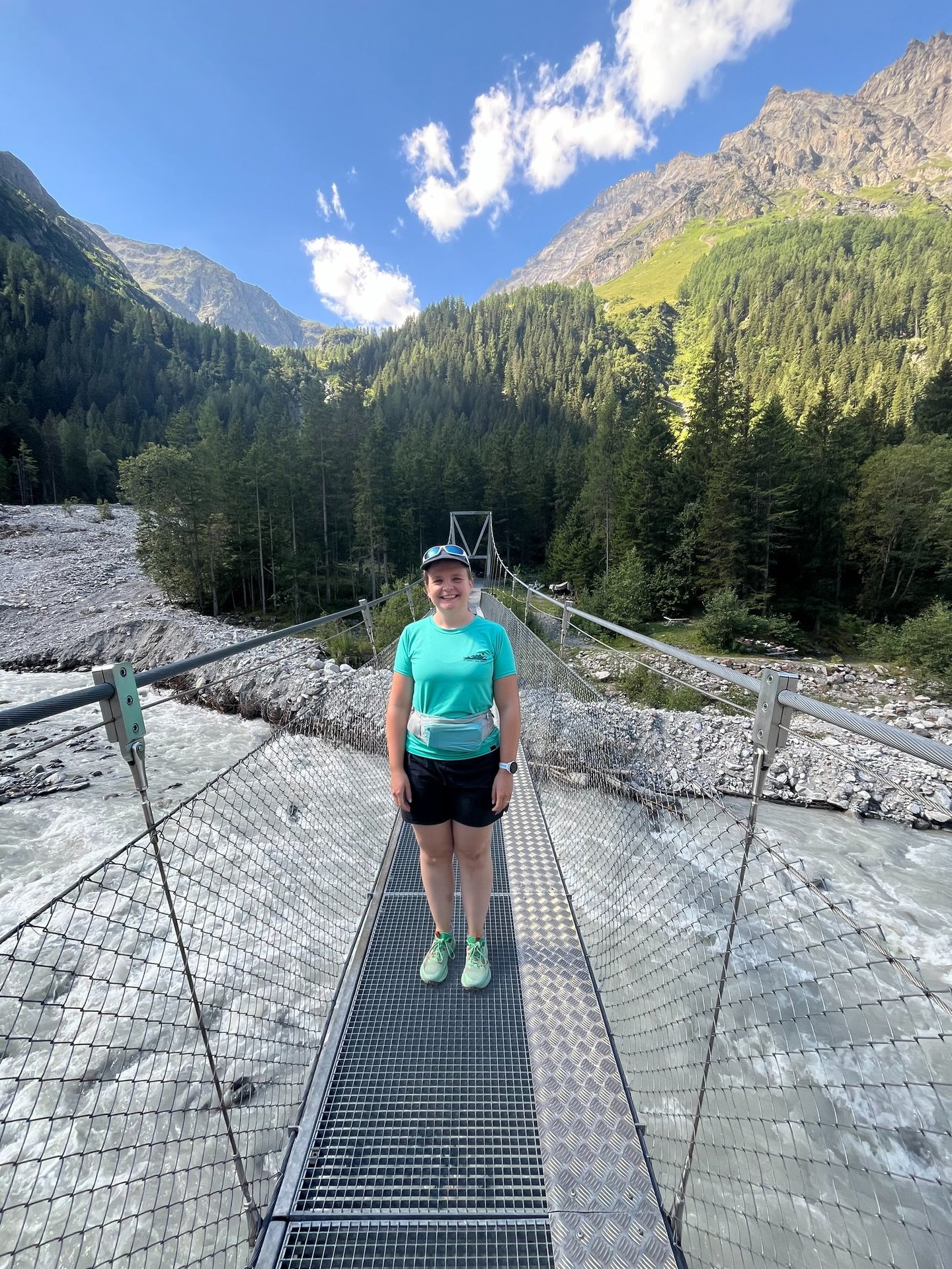
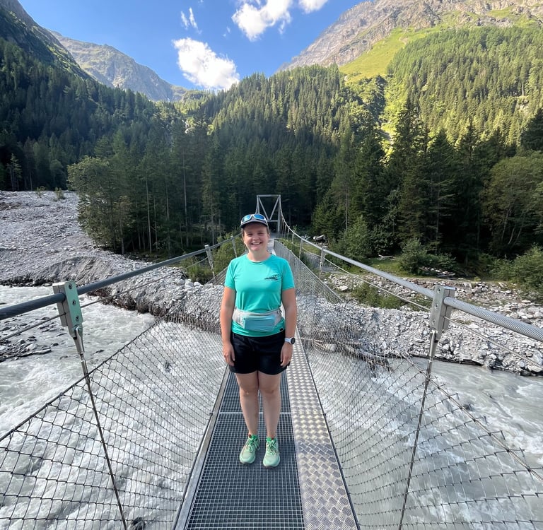
Crossing the swinging bridge over the Kander at Selden
We hope you enjoyed our visit to the Gasterntal. If you did, check out the other articles in our Into the Alps series, where we explore the human and physical geography of the Alps. Stay tuned for additional articles on our Swiss travels every week!
Until next time, gute Reise, and feel free to leave a comment on one of our social media platforms!